ROUTE PLAN
Steerpoints & Tactical Situation Display
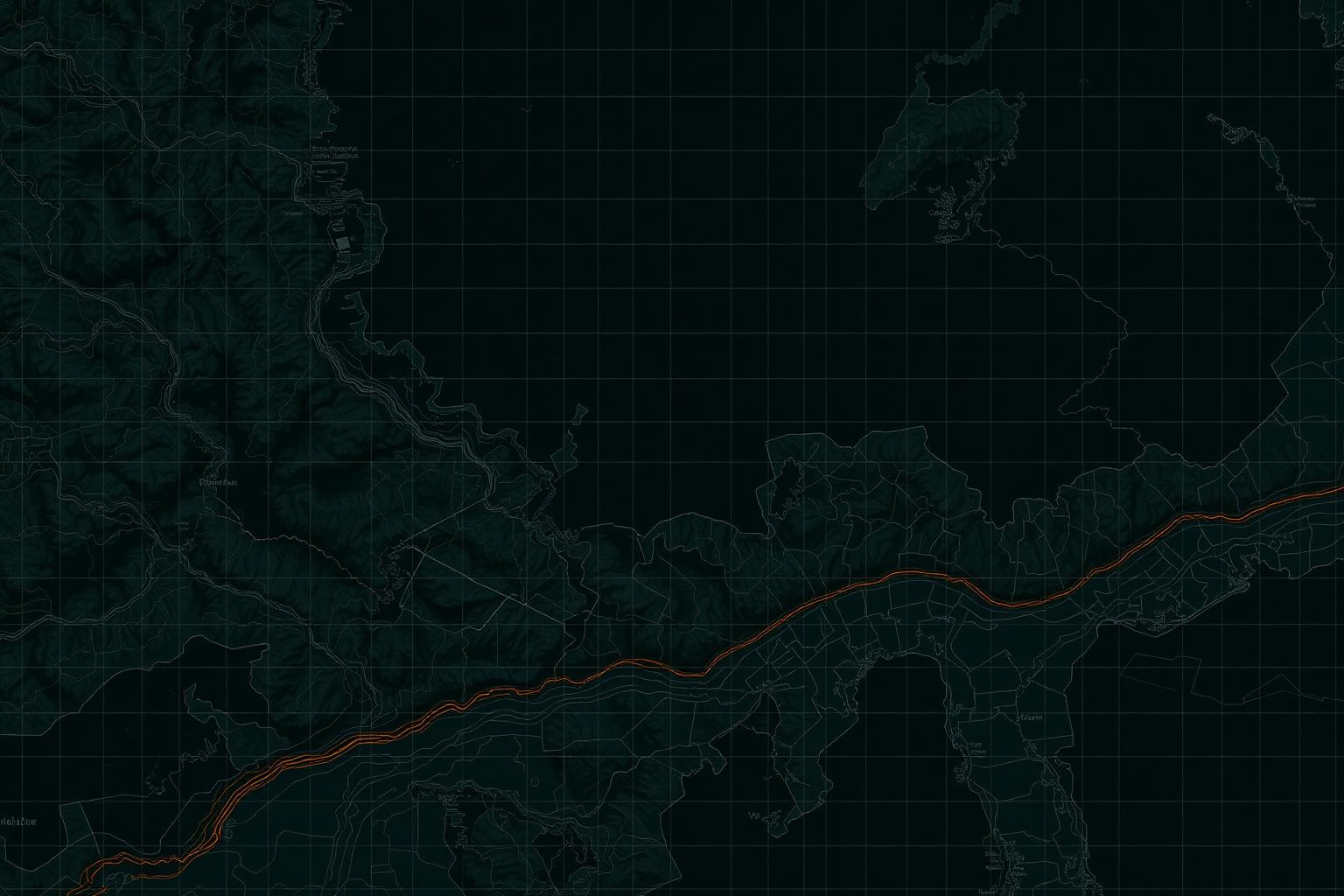
Total range 612 NM · cruise FL280 · 7 steerpoints. Coordinates and timings are synthetic and chosen to fit a notional Korean peninsula training scenario.
◤ ◤ TSD
N
S
W
E
IP
INITIAL POINT
WP-01
STEERPOINT
WP-02
TANKER A/R
WP-03
PUSH
TGT
BULLSEYE
EGR
EGRESS
RTB
RECOVERY
SA-21
SA-15
AAA
050 NM
LAT 36°14'07"N
LON 127°22'45"E
MGRS 52SCH 8423 1097
◤ ◤ STEERPOINTS
| WP | Coords | ETA | KTS | ALT | CRS | Note |
|---|---|---|---|---|---|---|
| IP | 36°14'07"N 127°22'45"E | 0420Z | 350 | 12K | — | Initial point |
| WP-01 | 36°31'12"N 127°41'08"E | 0428Z | 330 | 22K | 082° | Steerpoint, climb to FL220 |
| WP-02 | 37°02'44"N 128°10'33"E | 0445Z | 310 | 24K | 095° | A/R anchor SHELL-71 |
| WP-03 | 37°48'20"N 128°55'02"E | 0512Z | 420 | 30K | 078° | Push point, EMCON BRAVO |
| TGT | 38°22'10"N 129°41'18"E | 0547Z | 480 | 32K | 065° | Bullseye / TOT 0547:30Z |
| EGR | 37°58'52"N 130°02'47"E | 0602Z | 450 | 28K | 245° | Egress corridor |
| RTB | 36°14'07"N 127°22'45"E | 0712Z | 320 | 10K | 210° | Recovery RWY 36R |
◤
Fuel Plan
// FLT-PLN● OK
TAXI/TKOF+12.0K·8m
CLIMB+18.0K·12m
CRUISE OUT+26.0K·38m
A/R-22.0K·14m
PUSH/STRIKE+22.0K·18m
EGRESS+19.0K·28m
RTB/RES+15.0K·32m
TOTAL BURN
90.0K lb
RESERVE
2.4K lb
BINGO
4.8K lb